
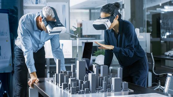
As urban spaces become increasingly complex, the task of planning and developing infrastructure demands innovation. Augmented Reality (AR) technology has emerged as a powerful tool in this arena, allowing engineers and planners to visualise the future of urban spaces in unprecedented ways. By overlaying digital information onto the real world, AR enables the detailed planning and simulation of infrastructure projects before they are built.
As urban spaces become increasingly complex, the task of planning and developing infrastructure demands innovation. Augmented Reality (AR) technology has emerged as a powerful tool in this arena, allowing engineers and planners to visualise the future of urban spaces in unprecedented ways. By overlaying digital information onto the real world, AR enables the detailed planning and simulation of infrastructure projects before they are built.
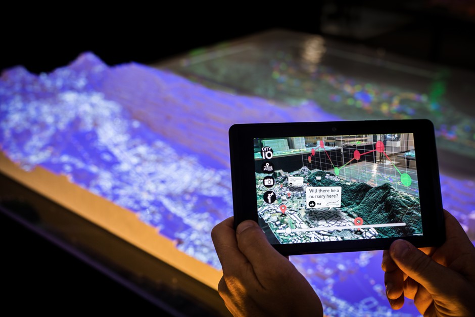
Augmented Reality: A Digital Revolution in Civil Engineering
Augmented Reality transforms how infrastructure projects are conceived, planned, and communicated. This technology facilitates a more interactive and immersive approach to planning, offering a dynamic view of potential outcomes.
Benefits of AR in Infrastructure Planning
Enhanced Visualisation: AR allows planners and stakeholders to visualise projects in their actual environments, making it easier to understand how new infrastructure will integrate with existing landscapes.
Improved Design Efficiency: With AR, engineers can identify and address potential design issues early in the planning process, reducing the need for costly changes during construction.
Stakeholder Engagement: By providing an intuitive and realistic representation of future projects, AR helps engage and inform non-technical stakeholders, including the public, about the impacts and benefits of new infrastructure.
Interactive Planning: AR applications enable planners to manipulate virtual models of infrastructure in real-time, fostering a more collaborative and iterative design process.
AR in Action: Real-World Applications
The practical applications of AR in infrastructure are diverse and growing:
Transportation Planning: AR can simulate the flow of traffic, the impact of new transit systems, or changes to existing roadways, helping to optimise movement within urban spaces.
Utility Management: Planners can use AR to visualise underground utilities, avoiding conflicts and streamlining maintenance.
Disaster Simulation: AR allows city planners to simulate the effects of natural disasters on urban infrastructure, leading to more resilient design strategies.
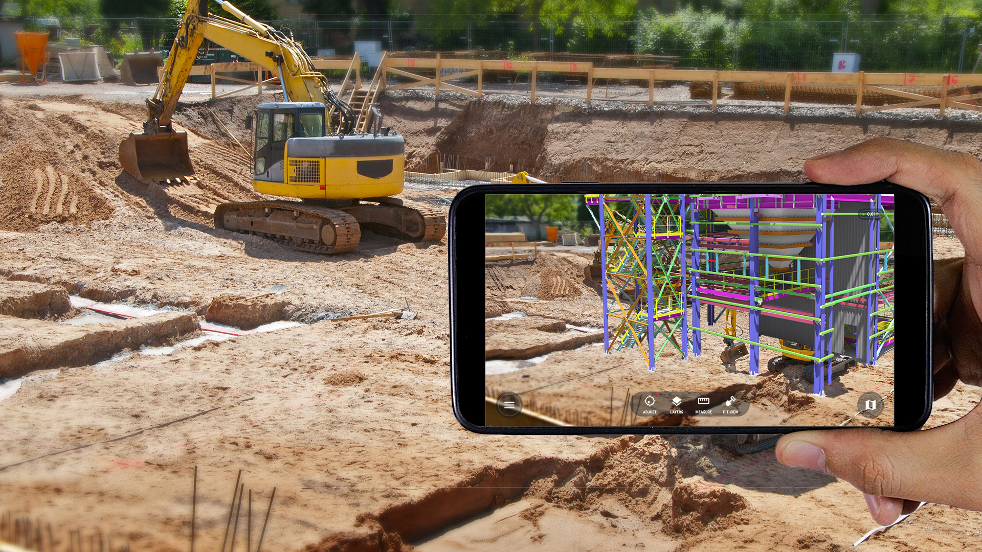
Cutting-Edge Tools and Platforms
Several AR tools and platforms are at the forefront of this technological wave:
Microsoft HoloLens: This mixed reality headset is being used by planners and engineers to interact with 3D models of infrastructure projects.
ARCity: This platform uses AR to overlay city data and planning information onto the real-world environment, helping planners make informed decisions.
Challenges and Future Directions
Despite its potential, the integration of AR into infrastructure planning is not without challenges:
Technology Adoption: Widespread adoption of AR requires significant investment in technology and training.
Data Integration: AR systems must be able to integrate with existing planning data and tools, which can be complex and time-consuming.
Public Perception: There may be skepticism or privacy concerns from the public regarding the use of AR in planning processes.
However, as AR technology continues to advance and become more accessible, its integration into infrastructure planning is expected to deepen. Future developments could include even more immersive experiences with Virtual Reality (VR), greater connectivity with Internet of Things (IoT) devices, and enhanced collaborative features.
Conclusion
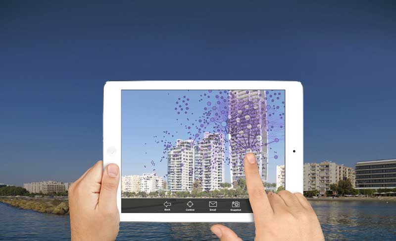
Augmented Reality is redefining the landscape of infrastructure planning. As we look towards the future of urban spaces, AR stands as a testament to human ingenuity, offering a blend of creativity and precision that could only be dreamed of in past generations. With the continued maturation of AR technology, the potential for innovative, efficient, and inclusive urban planning is boundless. The cities of tomorrow are being shaped today, through the lens of Augmented Reality.